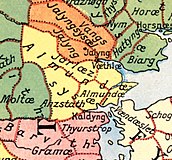
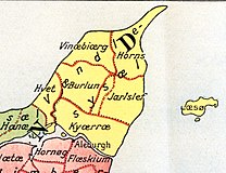
File:Administrative division of denmark in medieval times.jpg
外观

本预览的尺寸:800 × 583像素。 其他分辨率:320 × 233像素 | 640 × 466像素 | 1,024 × 746像素 | 1,280 × 932像素 | 2,560 × 1,865像素 | 5,952 × 4,336像素。
原始文件 (5,952 × 4,336像素,文件大小:15.8 MB,MIME类型:image/jpeg)
文件历史
点击某个日期/时间查看对应时刻的文件。
| 日期/时间 | 缩略图 | 大小 | 用户 | 备注 | |
|---|---|---|---|---|---|
| 当前 | 2019年6月12日 (三) 16:30 |  | 5,952 × 4,336(15.8 MB) | Aeroid | removed vertical lines, straight, slight color change |
| 2005年6月19日 (日) 05:36 |  | 5,952 × 4,336(16.87 MB) | Heelgrasper | Administrative division of Denmark in Medieval times. The different colors indicate the division in "sysler" in Jutland while the red lines indicate borders between "herreder" (counties). Dotted red lines indicate never borders. The map is made by profes |
文件用途
以下页面使用本文件:
全域文件用途
以下其他wiki使用此文件:
- cs.wikipedia.org上的用途
- da.wikipedia.org上的用途
- de.wikipedia.org上的用途
- en.wikipedia.org上的用途
- eo.wikipedia.org上的用途
- es.wikipedia.org上的用途
- et.wikipedia.org上的用途
- fi.wikipedia.org上的用途
- frr.wikipedia.org上的用途
- fr.wikipedia.org上的用途
- he.wikipedia.org上的用途
- hu.wikipedia.org上的用途
- id.wikipedia.org上的用途
- it.wikipedia.org上的用途
- ko.wikipedia.org上的用途
- la.wikipedia.org上的用途
- nds.wikipedia.org上的用途
- nl.wikipedia.org上的用途
查看此文件的更多全域用途。


