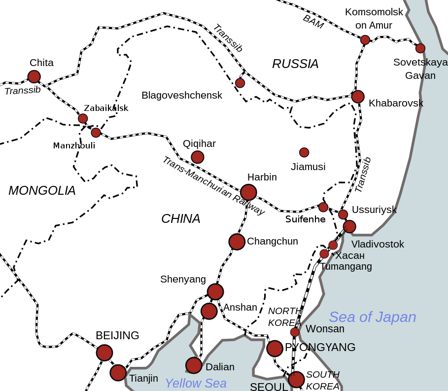
File:KantokuenWikiMap.png
外观

本预览的尺寸:685 × 600像素。 其他分辨率:274 × 240像素 | 548 × 480像素 | 932 × 816像素。
原始文件 (932 × 816像素,文件大小:313 KB,MIME类型:image/png)
文件历史
点击某个日期/时间查看对应时刻的文件。
| 日期/时间 | 缩略图 | 大小 | 用户 | 备注 | |
|---|---|---|---|---|---|
| 当前 | 2017年5月31日 (三) 01:11 |  | 932 × 816(313 KB) | The Pittsburgher | 5th Army attack route amended, historically the planned axis of attack was farther to the north (between Lesozavodsk and Iman) than is show on the map |
| 2017年3月26日 (日) 06:24 |  | 816 × 710(238 KB) | The Pittsburgher | User created page with UploadWizard |
文件用途
以下页面使用本文件:
全域文件用途
以下其他wiki使用此文件:


